Maritime Pedagogy, Ecological Action & Civic Impact
Our association mobilizes certified pedagogical instruction, scientific intertidal observation, and community solidarity to advance public interest maritime stewardship across the coastline of Ouistreham and Colleville-Montgomery.

Notre Mission • Institutional Non-Profit Mandate
OCEAN Ouistreham Colleville-Montgomery operates exclusively in accordance with the French non-profit framework of the Association Loi 1901 to advance public interest maritime education, civic water safety instruction, and coastal ecosystem preservation across the Calvados littoral. Our core statutory mandate is founded on the principle of universal accessibility, guaranteeing that children, young adults, community school groups, and individuals with disabilities can master nautical disciplines without facing prohibitive financial or social obstacles. Through rigorous field coordination with national sailing federations, municipal authorities, and regional maritime safety institutions, we deploy structured educational modules, tidal conservation patrols, and certified life-saving workshops. As an organization of recognized public utility, all resources, public subsidies, and voluntary dues received by our association are comprehensively reinvested into civic programming, communal safety equipment, and coastal research initiatives to serve the long-term collective welfare of our coastal territory.
Four Pillars of Ground Team Execution
Comprehensive technical and social frameworks guiding our day-to-day operations along the Normandy coastline.
Certified Maritime Instruction & Wind Navigation
At the heart of our mission is the structured transfer of seamanship knowledge. Navigating open marine waters requires a nuanced understanding of aerodynamic lift, hydrodynamic drag, tidal flow coefficients, and meteorological shifts. Our certified educators utilize modern, progressive teaching curricula established by the Fédération Française de Voile (FFVoile).
Beginning with stable twin-hull catamarans and collective dinghies, students learn foundational maritime physics: wind vector identification, tacking maneuvers, sail trimming, gybing safety, and hull stabilization. Unlike commercial operators that prioritize rapid entertainment, our pedagogical framework emphasizes technical autonomy, spatial awareness, and collaborative team communication.
Every participant progresses through certified learning levels, acquiring formal nautical competencies recognized nationwide. By maintaining a collective pool of shared equipment, our association ensures that high acquisition and maintenance costs never impede local youths from becoming skilled, responsible navigators.
Our training modules incorporate rigorous dry-land theory before any water departure. Students study wind rose charts, apparent wind angles, center of lateral resistance (CLR), and center of effort (CE), turning abstract physics concepts into tangible physical skills on the water.
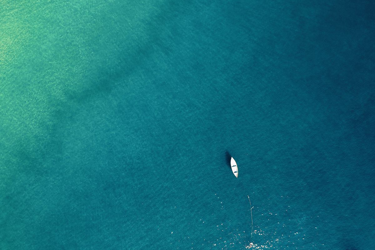
Intertidal Ecosystem Protection & Empirical Surveys
The coastline spanning Ouistreham and Colleville-Montgomery features an extraordinary macro-tidal environment. At low tide, the receding waters expose hundreds of hectares of wet sand flats, rocky outcroppings, and critical eelgrass beds (Zostera marina). This zone supports diverse macro-fauna and serves as a nursery for juvenile commercial fish species and migratory shorebirds.
Our ground teams conduct systematic field surveys to monitor environmental pressures along this sensitive littoral corridor. During low-water navigation and kayak patrols, volunteers record stranded marine debris, measure water salinity and clarity parameters, and map areas experiencing severe dune erosion.
We adhere strictly to non-invasive observation methodologies. When coordinating beach cleanups, our teams employ hand-collection protocols that leave natural wrack lines (laisse de mer) intact, recognizing that decomposing kelp and seaweeds provide essential nutrients for intertidal invertebrates and stabilize fore-dune vegetation.
Field data is recorded using the international OSPAR monitoring protocol, logging debris items per 100 meters of shoreline. These records are transmitted to municipal ecology offices and marine research bodies to evaluate the efficacy of local waste mitigation policies and storm-drain filtration systems.
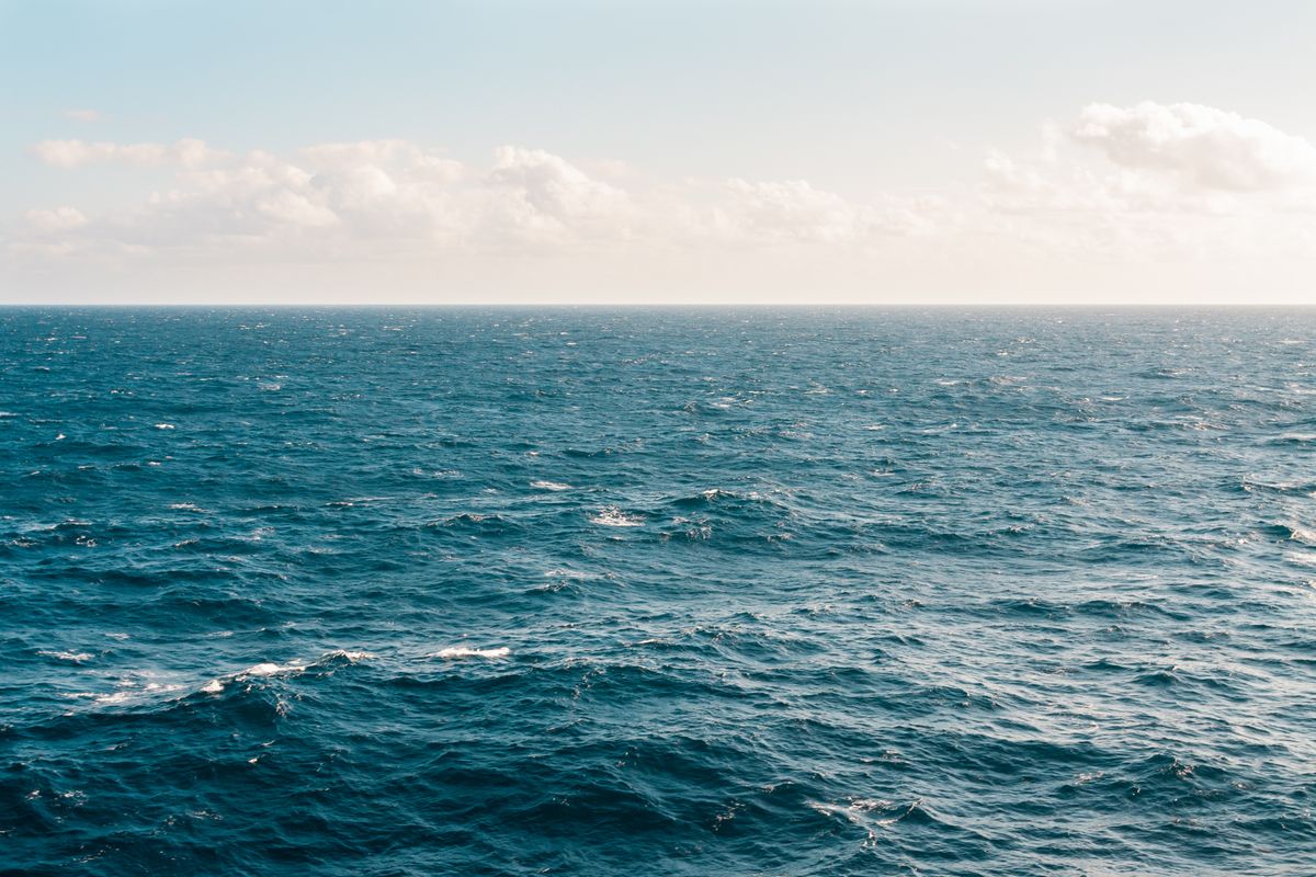
Water Safety, Tidal Survival & Public Prevention
The Bay of the Seine presents unique navigational hazards: tidal currents exceeding 3 knots during spring tides, sudden fog banks, shifting sandbars, and significant swell from northerly depressions. In response, OCEAN Ouistreham Colleville-Montgomery operates a comprehensive civic water safety program.
We deliver free public water-safety workshops covering essential maritime survival skills: cold-water shock response, hyperthermia prevention, emergency signaling using flares and VHF Channel 16, capsized craft righting techniques, and rip-current evasion.
Our association coordinates directly with CROSS Jobourg (Regional Operational Center for Surveillance and Rescue) and local SNSM stations. Every ocean activity conducted by our school is backed by a dedicated motorized safety craft equipped with rescue stretchers, automated external defibrillators (AED), and certified first-responder personnel.
We emphasize the vital "1-10-1 Rule" of cold-water immersion: 1 minute to control breathing against initial gasp reflex; 10 minutes of meaningful motor function before cold incapacitation sets in; and 1 hour before hypothermia renders a victim unconscious. This physiological understanding saves lives along our chilly coastal waters.
Dune Restoration & Littoral Preservation
The maritime dunes of Colleville-Montgomery represent a primary natural defense against storm surges and coastal erosion. These sandy barriers rely on marram grass (Ammophila arenaria) root networks to trap windblown sand and stabilize the coastal topography.
In collaboration with municipal environmental services and the Conservatoire du Littoral, our association coordinates community dune-stewardship outings. Volunteers install wooden ganivelle fencing to guide foot traffic away from fragile dune ridges, plant marram grass seedlings, and distribute educational brochures to beach visitors.
By linking terrestrial dune conservation directly with aquatic wind sports, our members understand the holistic nature of coastal ecosystems: healthy dunes protect the shoreline, clean waters foster thriving marine life, and responsible public access preserves the coast for future generations.
Through these civic actions, our participants become active guardians of their local heritage. Instead of treating the beach as a disposable backdrop, they recognize the interdependency of wind, sand, vegetation, and marine organisms.
Structured Nautical Learning Progression (FFVoile Framework)
Pedagogical stages designed to transform beginners into autonomous, eco-responsible navigators.
Acclimatization & Sensory Discovery
Trainees master basic water balance, personal flotation vest donning, equipment nomenclature, and helm response. Navigating in calm protected waters with an instructor aboard, students build confidence and emotional ease in the marine element.
Wind Vectoring & Maneuver Mastery
Students learn to identify the wind's origin across 360 degrees, steer along distinct points of sail (close-hauled, beam reach, broad reach, running), and execute smooth tacks without losing forward vessel momentum.
Dynamic Equilibrium & Trapeze Balance
Navigation in moderate sea states (Beaufort 3–4). Trainees harness outward on twin-hull catamarans to counterbalance aerodynamic heeling forces, coordinate crew gybes, and read coastal tidal currents.
Coastal Autonomy & Meteorological Stewardship
Full navigational autonomy. Skippers evaluate marine weather forecasts, plan tidal passage routes, manage maritime safety gear, supervise novice crew members, and apply coastal environmental protection protocols.
Operational Frameworks & Quality Standards
Documented operational parameters governing all educational and environmental activities.
| Domain | Operational Standard | Supervisory Body | Public Benefit Outcome |
|---|---|---|---|
| Nautical Instruction | Certified FFVoile Level 1-4 Pedagogy • Max 8:1 Student-to-Instructor Ratio | Fédération Française de Voile / SDJES Calvados | Guaranteed individual safety, high pedagogical quality, and recognized national accreditation. |
| Safety Craft Fleet | Semi-rigid rescue launches equipped with VHF, AED, first aid • Daily engine diagnostics | Affaires Maritimes (DDTM 14) | Instant emergency intervention capability along the entire Ouistreham & Colleville coastal sector. |
| Environmental Sampling | Standardized macro-litter sorting • Salinity & turbidity logs | CPIE Vallée de l'Orne / Municipal Eco-Services | Empirical data contributed to open scientific repositories tracking coastal environmental health. |
| Adaptive Sports (Handi) | Ergonomic seating • Dual-control rudders • Amphibious beach access equipment | Fédération Française Handisport / FFVoile | Complete physical inclusion for persons with disabilities without financial cost barriers. |
Coastal Ecology & Intertidal Taxonomy of the Baie de Seine
Scientific grounding for our citizen-science observation patrols and environmental workshops.
Estuarine Biodiversity & Benthic Nurseries
The lower valley of the Orne River empties into the Bay of the Seine, creating a complex brackish ecotone where freshwater nutrients merge with oxygen-rich marine tides. This estuary hosts significant intertidal mudflats and eelgrass beds (Zostera marina and Zostera noltii). These submerged phanerogams function as foundational carbon sinks and critical sheltering nurseries for juvenile marine species, including sea bass (Dicentrarchus labrax), European flounder (Platichthys flesus), and brown shrimp (Crangon crangon).
Our volunteer observation patrols monitor these vegetative beds, ensuring that recreational watercraft avoid anchoring in eelgrass meadows. During our low-tide field classes, students utilize quadrats to measure shoot density and note the presence of epiphytic algae, teaching young citizens that preserving marine biodiversity begins with understanding benthic substrates.
Furthermore, the upper salt marsh margins (schorre) support rare halophytic flora adapted to extreme salinity variations: glasswort (Salicornia europaea), sea purslane (Halimione portulacoides), and sea lavender (Limonium vulgare). Our educational curricula emphasize that these plant communities stabilize estuarine silt, prevent coastal erosion, and buffer inland settlements against storm-driven surge tides.
During the spring and autumn migratory cycles, the Baie de l'Orne acts as an internationally vital staging node along the East Atlantic Flyway. Thousands of waders and seabirds—including the Eurasian oystercatcher (Haematopus ostralegus), bar-tailed godwit (Limosa lapponica), common tern (Sterna hirundo), and vulnerable Kentish plover (Charadrius alexandrinus)—rely on undisturbed mudflats to feed on polychaete worms and small bivalves. Our nautical itineraries enforce strict nautical buffer perimeters, instructing students and volunteers to steer clear of exposed roosting shoals, thereby harmonizing human outdoor education with delicate wildlife life-cycles.
OSPAR Debris Monitoring Protocol
In our volunteer shoreline cleanup campaigns, OCEAN adheres to the standardized methodology established by the Oslo and Paris Conventions (OSPAR) for monitoring marine litter:
- Standardized 100-Meter Transect: Cleanups are mapped along predefined 100-meter stretches of shoreline running from the low-water edge to the base of the fore-dune.
- Size-Class Stratification: Debris is categorized into macro-litter (items greater than 25 mm) and meso-litter (items between 5 mm and 25 mm), including pre-production resin pellets (nurdles).
- Material Polymer Tagging: Waste is cataloged by polymer chemistry (polyethylene, polypropylene, expanded polystyrene, polyvinyl chloride) to identify regional industrial and domestic sources.
- Open Data Transmission: Survey logs are transmitted to regional marine conservancies and academic researchers tracking microplastic fragmentation along the Normandy coastline.
Experiential STEM Integration in School Maritime Modules
Transforming ocean winds and tidal dynamics into concrete educational physics and mathematics laboratories.
Empirical Physics: Bernoulli, Venturi & Hull Hydrodynamics
When students step aboard an association catamaran or dinghy, they do not simply engage in recreation; they become active investigators of physical laws. Our educators connect seamanship directly with national STEM curriculum goals:
- Bernoulli's Principle & Aerodynamic Camber: Students observe how an asymmetric foil (the trimmed sail) generates low pressure on the leeward surface, creating aerodynamic lift that propels the boat forward even when navigating close to the wind.
- Vectors & the Apparent Wind Triangle: Trainees calculate the difference between true wind velocity and boat speed vectors to understand why wind feels stronger and shifts forward as the vessel accelerates.
- The Rule of Twelfths in Tidal Dynamics: Navigating the macro-tides of Normandy requires predicting water depth. Students calculate tidal heights across the six-hour flood and ebb cycles using the mathematical rule of twelfths (1/12 in hour 1, 2/12 in hour 2, 3/12 in hour 3, 3/12 in hour 4, 2/12 in hour 5, 1/12 in hour 6).
- Center of Lateral Resistance (CLR) vs Center of Effort (CE): Understanding how raising or lowering the centerboard alters rotational moments, teaching helm balance through applied geometry.
By bridging textbook physics with tactile ocean experience, OCEAN provides students with unforgettable learning moments that cultivate curiosity, scientific rigor, and deep respect for the natural forces shaping our planet.